Interactive US History Timeline and Map Stories You Need to See

Why an American History Interactive Map Changes How You See the Past
The best American history interactive maps available today include:
| Map / Platform | Best For |
|---|---|
| American Battlefield Trust Animated Maps | Revolutionary War & Civil War battles |
| PBS Interactive Battle Map | American Revolution troop movements |
| OpenHistoricalMap | Crowdsourced, community-contributed history |
| Gilder Lehrman Columbian Exchange Map | Trade routes and cultural exchange |
| HistoryMaps.com Timeline | Full U.S. history from prehistory to modern era |
| MapChart USA Historical Map | Custom, personalized map creation |
| DPLA Local History Map | Local community and family history |
There is something quietly wonderful about watching history come to life on a map.
Imagine sitting with your family and watching the American colonies transform, state by state, into the nation we know today. That is what an American history interactive map makes possible — not just dates on a page, but a living, breathing story of people, places, and moments that shaped us all.
These tools let you zoom into a battlefield, trace a family's migration, or watch borders shift across centuries. Some maps even span from 30,000 years ago — the earliest peopling of the Americas — all the way to the present day. That is a lot of story to explore.
And the best part? Many of these maps are completely free, built by educators, historians, and everyday people who believe this story belongs to all of us.
Whether you are a teacher looking for classroom tools, a parent wanting to share something meaningful with your kids, or someone quietly curious about where your family fits into the bigger American story — there is a map here for you.

The Magic of an American History Interactive Map
Have you ever looked at an old paper map and felt a sense of wonder? There is a certain warmth in seeing the hand-drawn lines of a world that used to be. But when we add interactivity to those lines, something magical happens. An American history interactive map isn't just a static image; it is an invitation to travel through time.
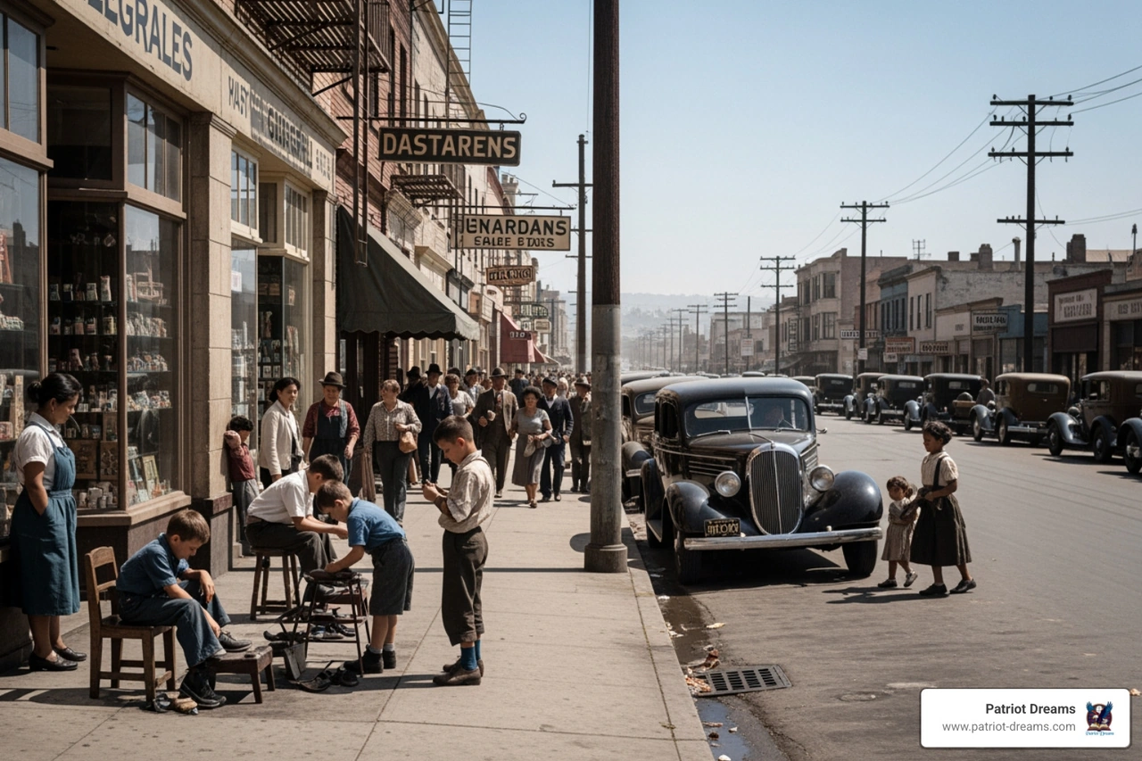
Visual storytelling allows us to see the "why" behind the "where." When we look at how geographic changes occurred, we aren't just looking at borders; we are looking at the movements of people—mothers, fathers, and children—searching for a better life or defending their homes. These maps help us understand our neighborhood history, showing us that the streets we walk today were once the frontiers of yesterday.
By exploring these digital landscapes, we build empathy. We begin to understand the cultural evolution of our nation, seeing how different groups contributed to the vibrant tapestry of American life. It’s about more than just data; it’s about human connection and the shared heritage that binds us together.

Seeing the Revolutionary War Unfold
One of the most powerful ways to use an American history interactive map is to witness the birth of the nation. Organizations like the American Battlefield Trust and PBS have created incredible animated maps that visualize the Revolutionary War.
Instead of just reading that the war lasted from April 19, 1775, to September 3, 1783, you can actually watch the battle sequences unfold. You can see the troop movements from Lexington to Yorktown, understanding the strategies and the sheer courage it took to stand for founding values like liberty and self-governance.
These maps use digital animation combined with historical art to show how the tide turned in favor of the colonies. It makes the history feel personal—you aren't just looking at dots on a screen; you're seeing the path of the Continental Army as they marched toward independence.
Mapping the Heart of a Growing Nation
As the smoke cleared from the Revolution, a new story began: the territorial evolution of a growing nation. In 1790, the first U.S. census reported approximately 4 million residents. By the 1960 census, that number had reached almost 180 million. How did we get from there to here?
An American history interactive map can show you the exact moment states were admitted to the Union. You can watch the United States Map expand through the Louisiana Purchase of 1803, which doubled the size of the country, or the Oregon Treaty and the Gadsden Purchase.
This westward expansion wasn't just about land; it was about community growth. People moved across the Oregon Trail and settled in new territories, driven by the spirit of "Manifest Destiny"—a term coined in 1845 to describe the belief that the U.S. was destined to stretch from the Atlantic to the Pacific. Using these maps, you can trace the exact treaties, like the 1763 Treaty of Paris or the Adams-Onís Treaty, that shaped the very ground you stand on today.
Stories of Innovation and Perseverance
History is often driven by the "lightbulb moments" of inventors and the steady hands of workers. One of the most significant shifts in American history was the invention of the cotton gin. While it was a technological marvel—allowing two people to produce 50 pounds of cotton in 10 hours compared to just one pound by hand—it also had a deep and complex impact on our social fabric.
By the mid-19th century, Southern states were responsible for 75% of the world's cotton. This economic boom led to a massive expansion of slavery, with the enslaved population rising from 700,000 in 1790 to over 3 million by 1850. Maps that visualize these shifts help us confront the realities of our past with honesty and kindness. They show the resilience of the human spirit in the face of hardship and the industrial milestones that changed the world.
To see how these individual stories weave into a larger narrative, you might explore a Digital Story Map, which combines geography with the personal experiences of those who lived through these eras.
An American History Interactive Map for Every Student
For the teachers and parents among us, these maps are a treasure trove of educator resources. The Revolutionary War Animated Map, for instance, has been added to Google Classroom by over 3,100 educators. These platforms often provide:
- Student PDFs: Guided questions to help kids think critically.
- Interactive Quizzes: Fun ways to test knowledge after exploring a map.
- Primary Sources: Real letters, photos, and documents linked to map locations.
Platforms like the Digital Public Library of America (DPLA) host nearly 1.8 million books and tens of thousands of maps. They even have a "local history" feature where you can zoom into your own community to see historical objects and photos from your hometown. It turns a history lesson into a journey of discovery, teaching our children with kindness and a sense of belonging.
Customizing Your American History Interactive Map
One of the most exciting developments in digital history is the ability for you to contribute. Tools like OpenHistoricalMap are crowdsourced, meaning people like you can add data to help build the most comprehensive historical map of the world ever made.
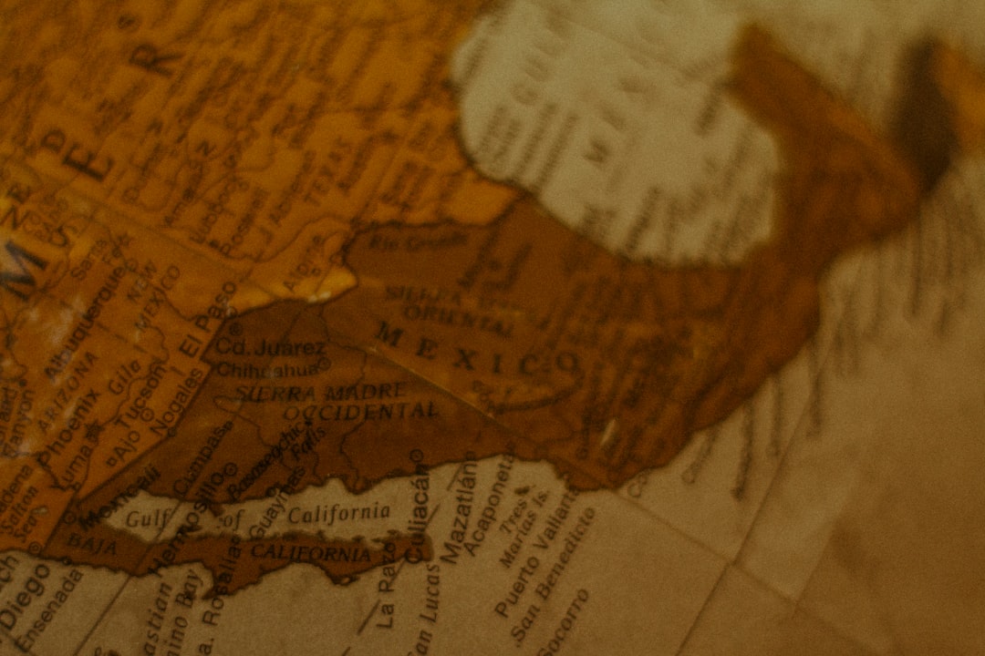
If you want to create something for a family reunion or a school project, MapChart allows you to color in states, add legends, and download your own custom map. This is a wonderful way to preserve a personal legacy. You can map out where your great-grandparents lived, the route they took when they moved West, or the towns where your family's stories first began. It turns "the" history into "your" history.
Frequently Asked Questions about Historical Maps
How do interactive maps help students learn?
Interactive maps turn passive reading into active exploration. Instead of memorizing a list of battles, a student can watch the "how" and "why" of troop movements. This visual context helps information stick and makes the subject matter much more engaging. Many maps, like those from the Gilder Lehrman Institute, also integrate primary sources, allowing students to see the actual documents that changed history while looking at the location where it happened.
Can I see how my specific state was formed?
Yes! Many tools, such as the Atlas of the Historical Geography of the United States, show the step-by-step formation of state boundaries. You can see when your state was a territory, the treaties that defined its borders, and even how its population changed over the decades. It’s a great way to feel a deeper connection to the place you call home.
Are there maps available for family history research?
Absolutely. Historic maps are essential for genealogy because political boundaries changed so often. An ancestor might have lived in the same house for forty years but lived in three different counties as borders were redrawn! Sites like MapofUS.org provide free antique maps and interactive state formation tools that help you pinpoint exactly where your ancestors' land was located, which is invaluable if you live far away from your ancestral hometown.
Conclusion
Exploring an American history interactive map is like opening a window into the souls of those who came before us. It reminds us that our nation's story is a shared one—built on innovation, perseverance, and the quiet heroism of everyday people.
At Patriot Dreams, we believe that every map tells a story, and every story deserves to be heard. We are dedicated to bringing American history and heritage to life through audio storytelling and interactive exploration. By combining the "where" of a map with the "who" of a personal legacy, we help families preserve their unique place in the American narrative.
If you have a story to tell or a piece of history you want to preserve for your grandchildren, we invite you to visit the Patriot Dreams Creator Hub. Together, we can ensure that the maps of the future are filled with the voices and memories of the people who make this country so special.
History isn't just about the past; it’s about the connections we make today. Let's keep exploring, keep listening, and keep dreaming together.

Join the Patriot Dreams Community
Download the app today and start your journey through American history and personal legacy.

Explore Our Latest Insights
Dive into stories that shape our American legacy.